Dear Project Partners and FOR members,
We are pleased to announce that Biobase has donated a one-year subscription to their Habitat+ mapping service, now available to support our funded projects. We thank Biobase for their generous support of Friends of Reservoirs and the Reservoir Fisheries Habitat Partnership!
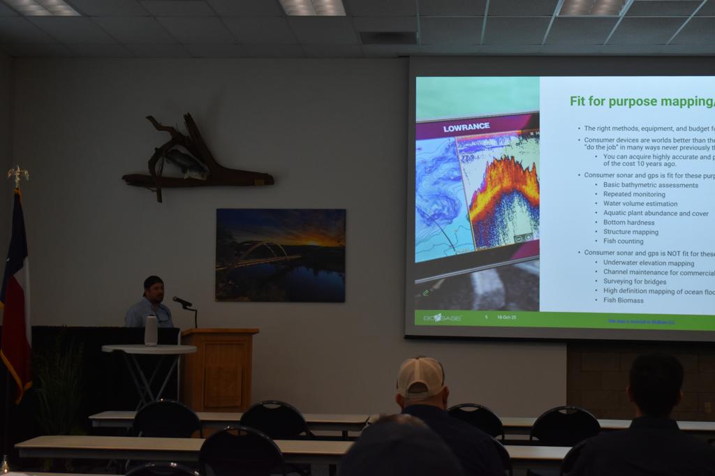
This subscription provides access to advanced spatial mapping tools that can strengthen project planning, implementation, and evaluation. Biobase Habitat+ services support both pre-project and post-project definition, ensuring consistent, data-driven documentation of project conditions and outcomes.
Available mapping services include:
- Bottom hardness mapping
- Vegetation density mapping
- Topographic mapping
- Fish usage mapping, including the Echo Fish layer
To see an example of the Echo Fish layer in action, visit: Polygon editing and other processing improvements - - BioBase Automated Mapping
Required Data Submission
To request mapping services, project teams must complete the Biobase Mapping Request Form and provide sonar data collected from Lowrance or Simrad systems. This ensures that Biobase can generate accurate and meaningful maps for your project.
Learn More and Request MappingYou must be logged in to access the request form under My Profile.
Thank you, Biobase!
![]()